[back to InetPix] [Just the pix] [North to Alaska]
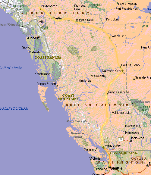
We've gone from Seatlle to Whitehorse in the Yukon Territory. Most of last week was spent crossing British Columbia.
Although we had planned to camp after leaving Seattle, the nearby campgrounds were full, so we stayed at a hotel.
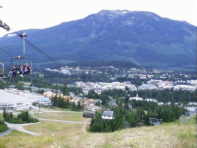
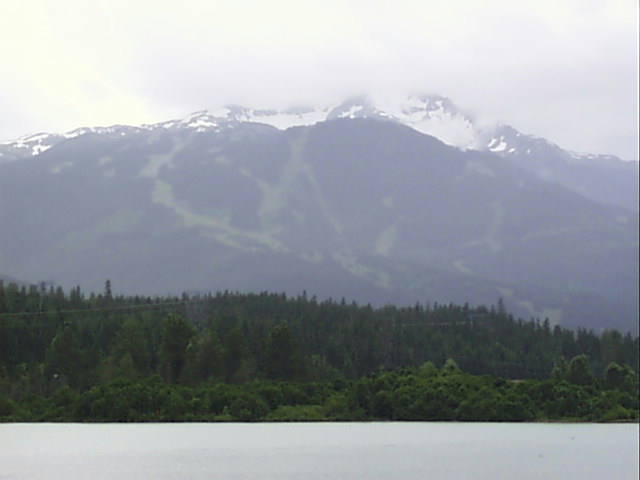
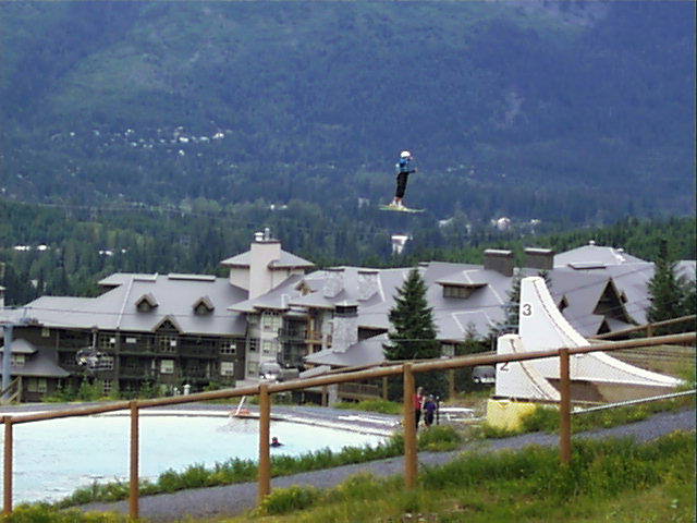
We had gone snowboarding here a year and a half ago, and really liked it. After being here in the summer we still really like it. Went for a hike on the slopes of Blackcombe. We saw some ski jump practice on artificial surface, landing in a pool.
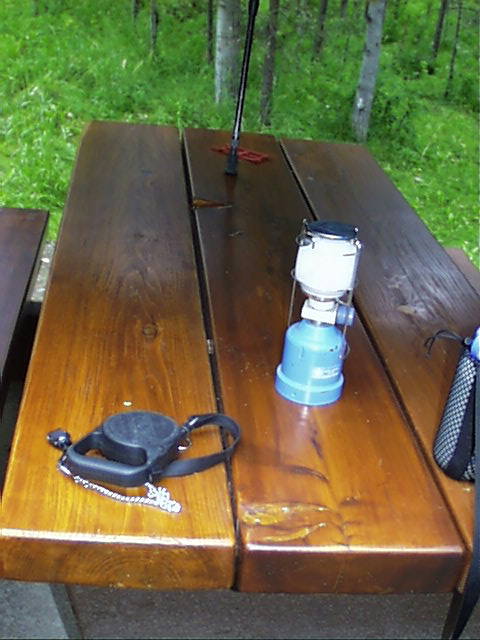
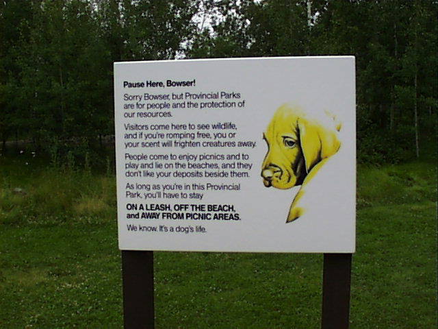
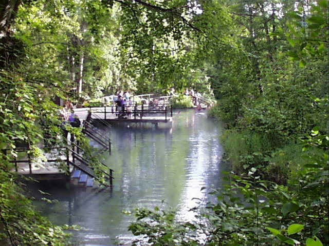
Somewhere in the interior of British Columbia lies Green Lake (one of many). We were quite impressed by the nicely finished picnic tables. You almost felt guilty putting a cold glass on them.The B.C. Parks had a special sign for "Bowser" describing the rules pertaining to dogs.
The front desk to this campsite was manned by a friendly ex-con with fascinating tattoos. Heather appreciated the lack of locks on the communal bathroom and shower facility. Still this private campsite had a very nice location on Lake Azouzetta.
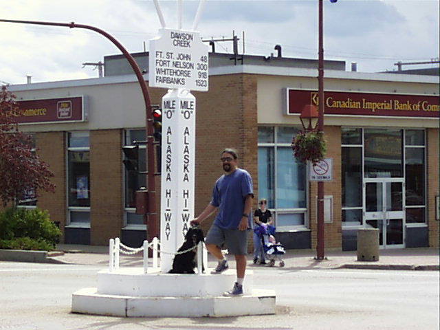
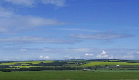
Continuing on the next day we passed through Dawson Creek which is the milepost 0 for the Alaska Hiway. Many of the fields in this area produce the vital Canadian canola oil supply (the yellow flowering plant).
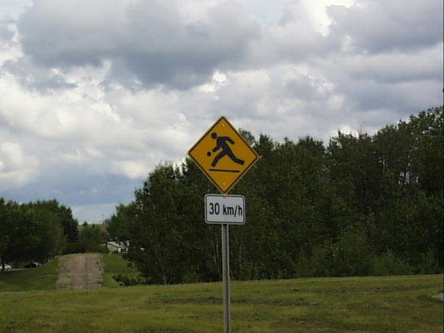
Here's an odd sign. I believe it indicates a nearby bowling alley.
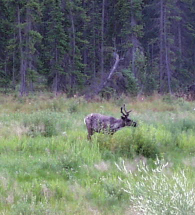
Our first interesting wildlife sighting, a caribou, along the hiway.
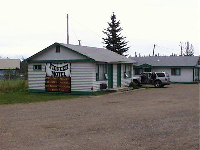
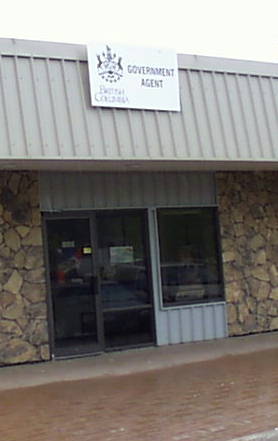
Another stop through what is becoming rather tedious scenery through this part of B.C. (not super natural enough for me), we hit the fabulous Pioneer Motel . The dreary weather matched the ambience of this burg. We did not take the opportunity to complain to the local government agent.
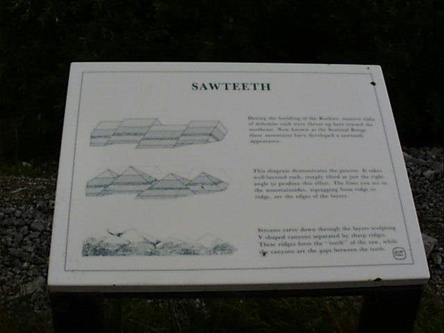
As we head out from the relatively flat interior, back towards the Rockies, the scenery picks up again. Some informative road stops help highlight the views, like this sign for a "sawtooth" mountain formation.
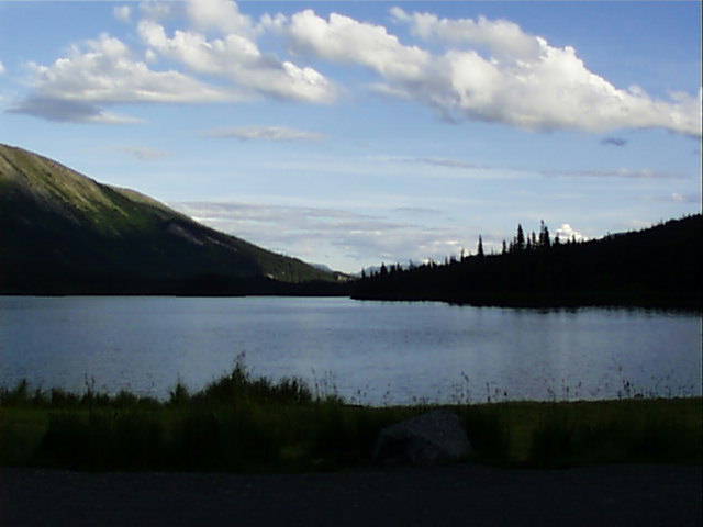
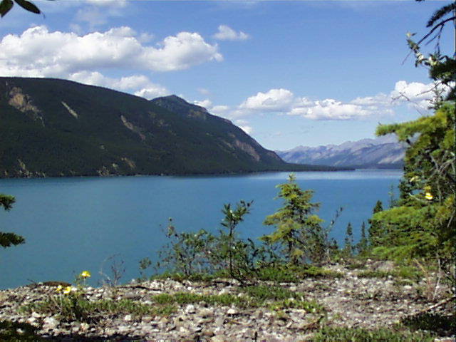
Muncho Lake is awesome. It is an almost unnatural brilliant blue (or turquoise), which is caused by "rock flour" which is sediment left behind by glacial activity. This suspends in the water and reflects back much more blue or green light than other colors.
Damn cold but a nice place to swim and camp.
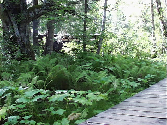
At the top of this lake is Liard Hot Springs, quite a contrast to the waters of Muncho Lake. The water is about 130 degrees at its hottest (too hot). Ferns grow in this area due to the seeping hot water.
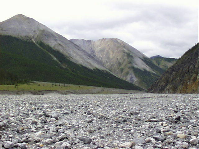
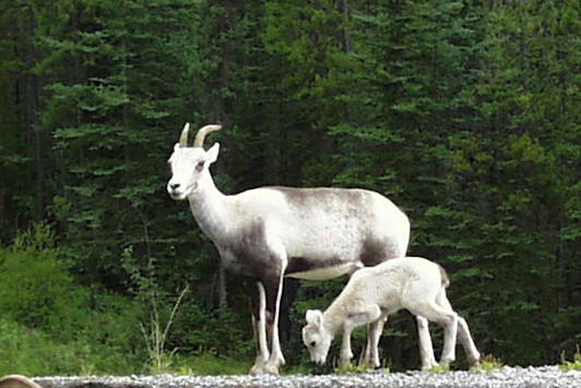
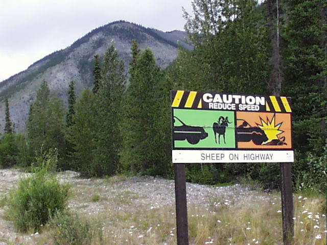
Throughout this area are lots of alleuvial fans, the washout from the granite slopes. These seem to be popular hang-outs for Stone Sheep (we saw a family, and the next day an entire herd). Signs warn of the hazards sheep pose to driving.
The Yukon Territory has a population of 33,000 people. Whitehorse is home to 24,000 of these folks and the next biggest city in the territory has less than 2,000.
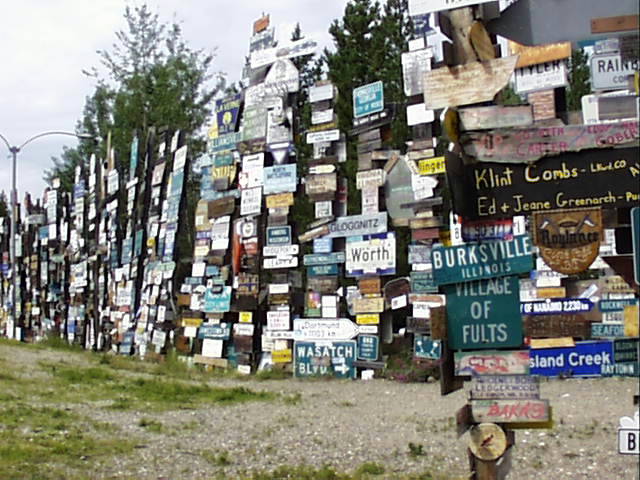
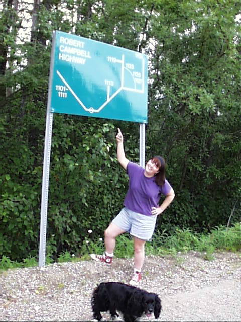
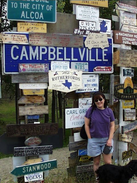
Although a much smaller town, Watson Lake proves to be more interesting, housing an enormous Sign Forest.
Watson Lake also sits at the junction of the Alaska Highway with the Campbell Highway. Heather insisted on having her picture taken here. Also found a good photo op in the sign forest.
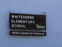
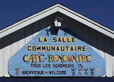
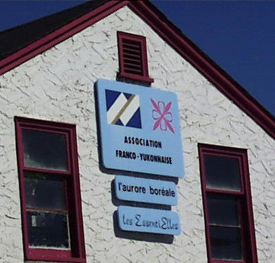
The most interesting feature of Whitehorse we found was the apparent Quebecoise influence on this community so far from Montreal: a French Immersion School, a Community Center and the Franco-Yukonaise office. (And you know that nothing makes a sandwich taste better than a little Yukonaise).