[back to InetPix] [north to Alaska][Just the pix]
Our original plans included travel up the Dempster highway, past the Arctic Circle to Inuvik on the Arctic Ocean.
Our travels through B.C. made us reevaluate the wisdom of making a 1000 mile detour up the dead-end Dempster. Instead we chose to go directly to Fairbanks, then travel to the Arctic Circle via the Dalton Highway (which follows the Alaska Pipeline to Prudhoe Bay), camp in the area and head back.
Things did not work out entirely as planned...
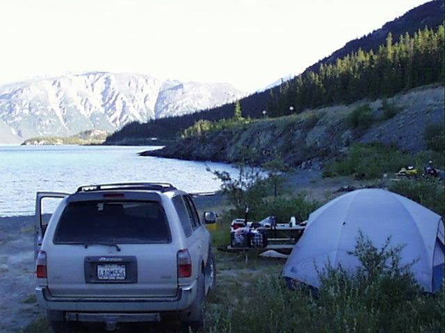
Another private campground, but with a less frightening staff. Kluane Lake is a Yukon National Park, and this camp is on the lake.
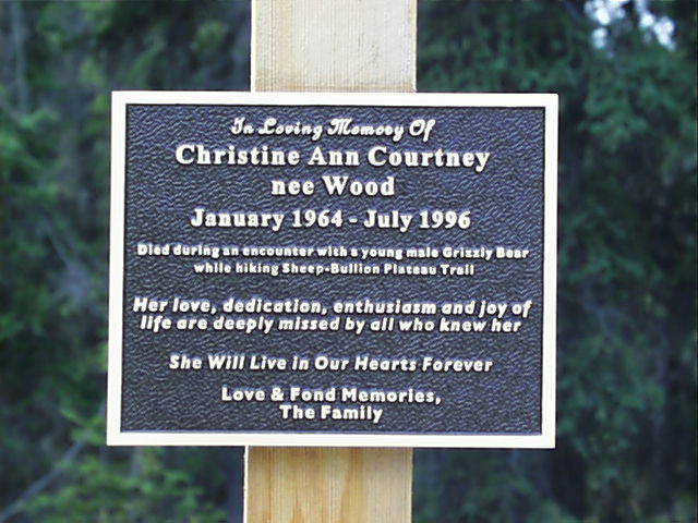
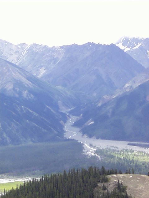
Hike up the canyon which forms the source of Kluane Lake. There is a rather ominous memorial at the trailhead. A good view of the "braided" streams was seen from up here.
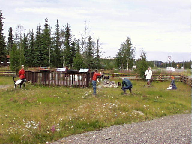
As we drive on from Kluane Lake, we cross back into the US at Beaver Creek. They have an unusual display with various plastic figures, odd.
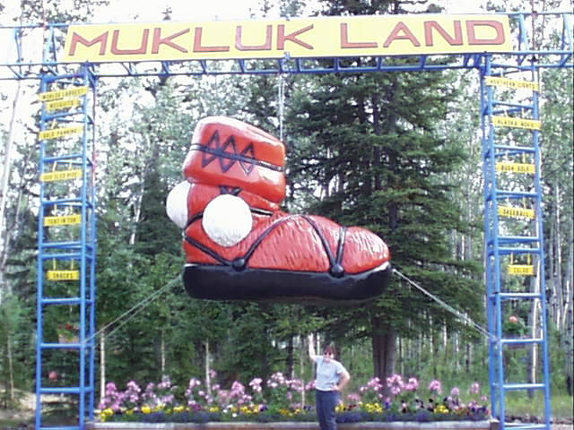
We cross into Alaska and travel alongside the Nenana River for some time. Tok is the first major city we hit, home of Muklukland.
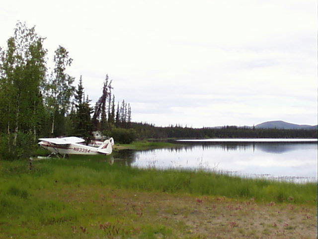
We camped a short distance further up the road at Moon Lake. This campground appears to have fly-in camping.
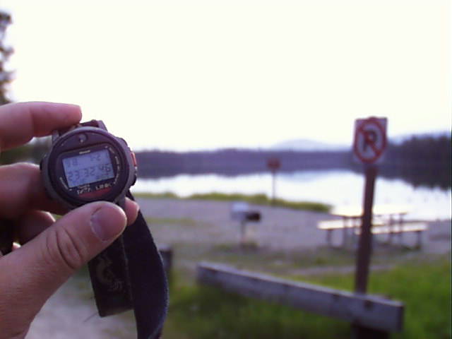
The midnight sun is becoming more and more evident. The camp lantern (or a flashlight) has become irrelevant because it never really gets dark (well from 12:30 to 3:30 AM, but we're asleep by then). Here's the scene at 11:30.
We had initially planned on staying the night in town, but believe it or not in this town of 30,000, there were no available motel rooms. We serendipitously ended up staying the night at Chena Hot Springs, 50 miles away. This developed sight has indoor and outdoor hot tubs and swimming pool fed by the springs.
We would return to Fairbanks sooner than expected...
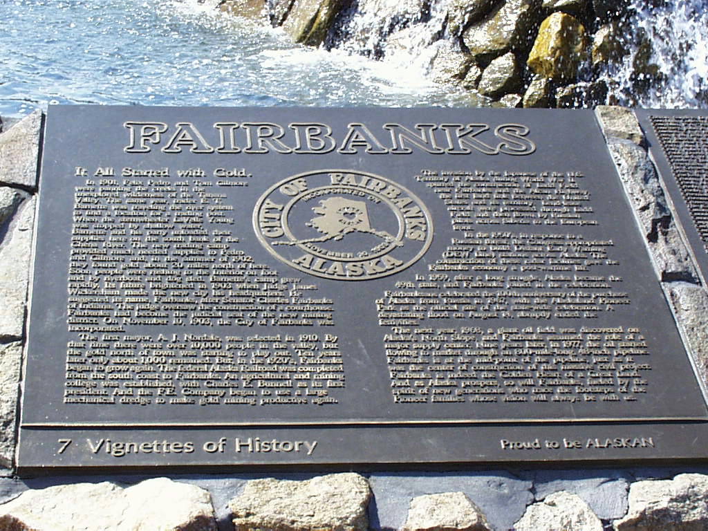
Fairbanks was described by Frommer's Guide as being "a cross between a city in Kansas and Siberia". I've seen nothing to counter this description. Keep in mind this is the second largest city in the state.
The downtown has a lot of government, utility and bank buildings, combined with a few successful restaurants and bars, followed by Bingo halls (or "Pull Tabs") and rather dingy buildings.
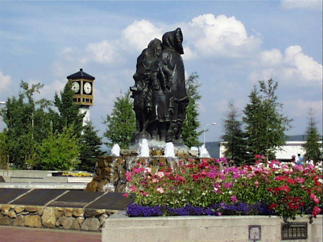
The main focus is an attractive square with a fountain containing a bronze statue of a Native Family.
The town history is supposedly that a businessman named Bartlett decided to build a boomtown to take advantage of the rush for Yukon gold. The boat captain got lost and Fairbanks was built on its location by chance. Gold was fortuitously discovered in the area shortly after the town was begun. The official version of the towns history glosses over this point.
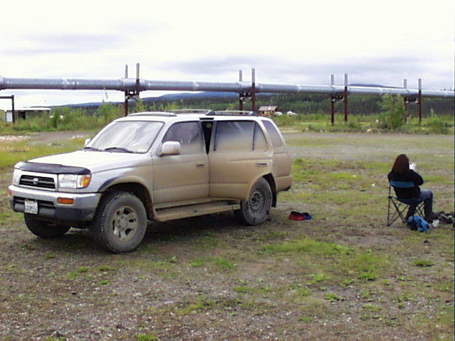
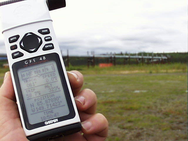
The Dalton Highway leads from Fairbanks, basically due north to Prudhoe Bay, the northern terminous of the Alaska Pipeline, with Valdez being the southern point (about 1000 miles south). This is a 414 mile unpaved road. Heather and I planned on driving the first 160 miles to reach the Arctic Circle and camp.
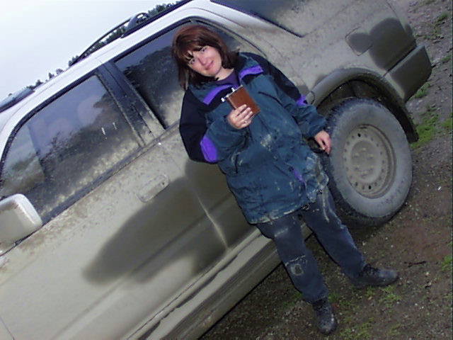
I had purchased an extra spare in anticipation of some of the roads whose descriptions included recommendations to bring a second spare. Upon our final packing of the car the extra spare was jettisoned and left lying in the garage at home. And here comes the irony... We had an irreperable flat on this very road!
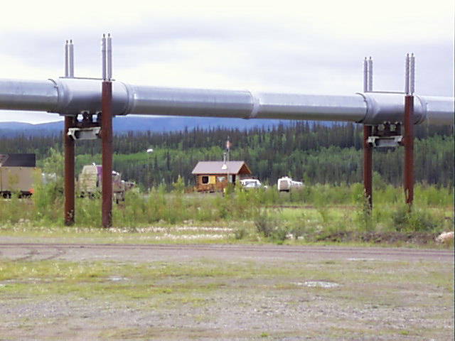
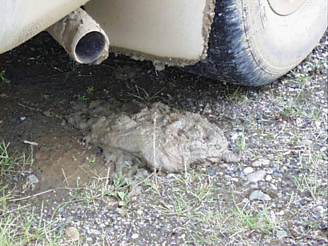
Our choices were to continue to the Arctic Circle with no spare, or return and hope not to flat out on the return. With out local camping options being beneath the pipeline in a gravel parking lot. We drove south to a campground near Fairbanks. Here is the farthest point north reached. The fins on the pipeline are used for radiating heat so as not to melt the permafrost. Lotsa mud, in fact the car left on its own would spill mud in the form of "carpies".
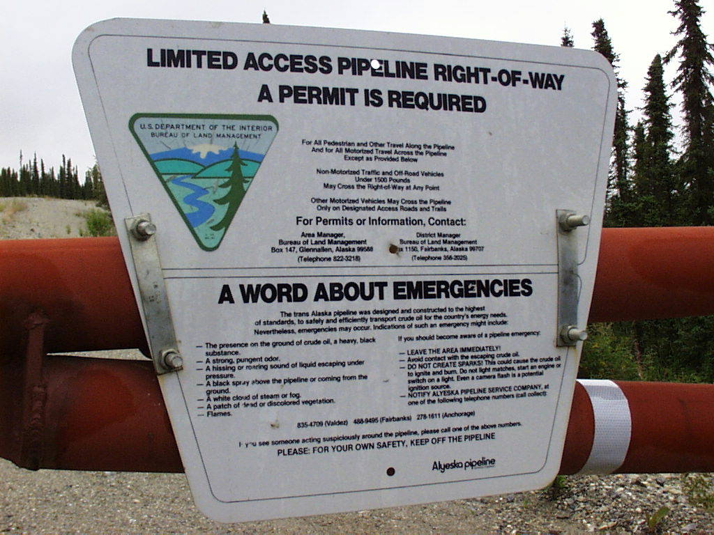
And from the "Stating the obvious" category, here is one of the signs they have posted on all service roads associated with the pipeline. Among other things, "flames" are considered a sign of a problem with the pipeline which should be reported.
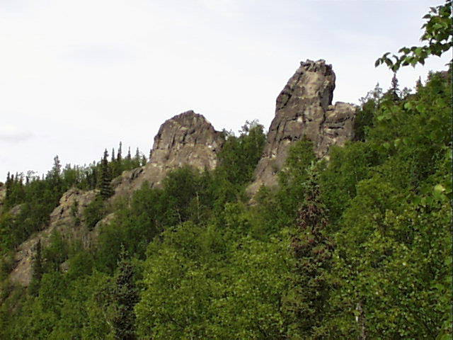
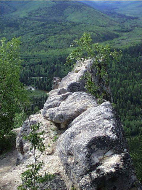
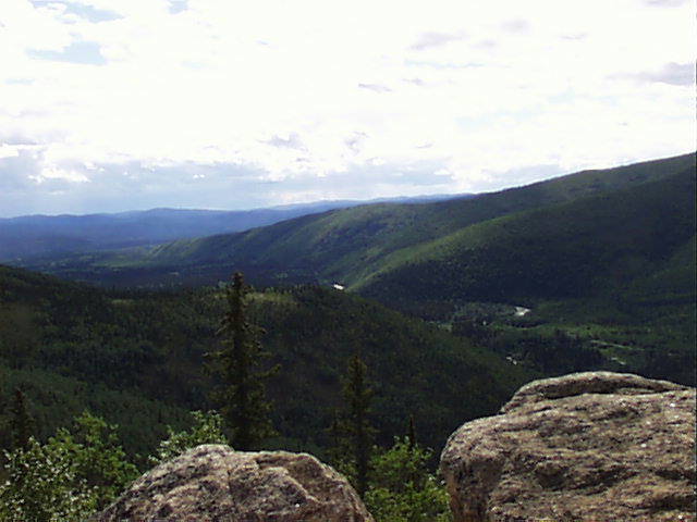
Sunday was basically spent packing for our excursion to Denali, but Saturday we went on a hike to the "Tors" of Angel Rock, on the Chena River. The Chena is the river which flows through Fairbanks. Its tributary creeks were the primary source of ore for goldmining locally.
Tors are granite outcroppings, their irregular shape makes it hard to get a good perspective. The hillside offered a good view of the canyon cut by the Chena above Fairbanks.